HOMEPLANT DATA BASEPLANT SEARCH ENGINESEEDS SHOP
MAIN RECORD

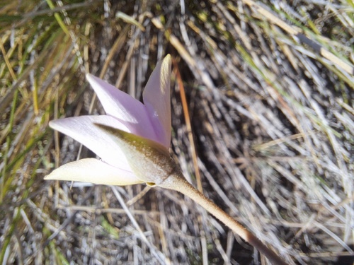
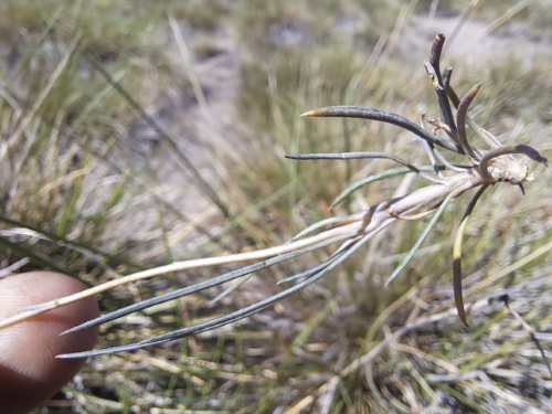
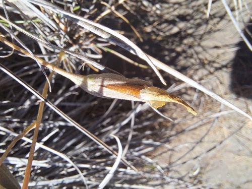
Image of Calandrinia sp. #3021 (). Click to enlarge parts of image.

Image of Calandrinia sp. #3021

Road to Laguna Maule, Chile
Altitude: 900-2000 m. 04 01, 2023


GPS: S 35° 58' 39"     W 70° 33' 56"     H = 2092 m.
Date: 2023:01:22 17:40:44 Google Map

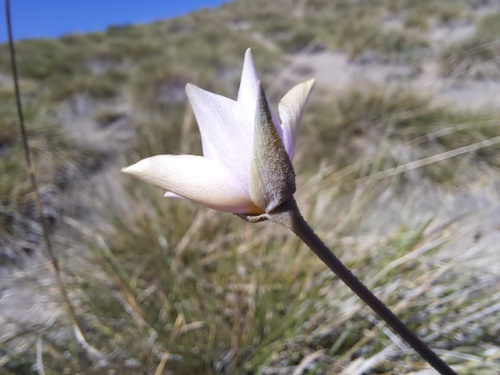
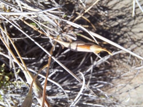
Image of Calandrinia sp. #3021 (). Click to enlarge parts of image.

Image of Calandrinia sp. #3021

Road to Laguna Maule, Chile
Altitude: 900-2000 m. 04 01, 2023


GPS: S 35° 58' 39"     W 70° 33' 56"     H = 2092 m.
Date: 2023:01:22 17:40:48 Google Map

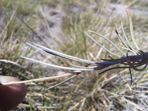
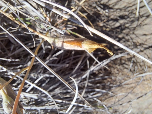
Image of Calandrinia sp. #3021 (). Click to enlarge parts of image.

Image of Calandrinia sp. #3021

Road to Laguna Maule, Chile
Altitude: 900-2000 m. 04 01, 2023


GPS: S 35° 58' 39"     W 70° 33' 56"     H = 2092 m.
Date: 2023:01:22 17:40:53 Google Map

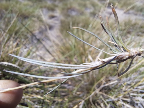
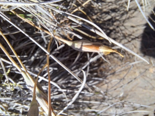
Image of Calandrinia sp. #3021 (). Click to enlarge parts of image.

Image of Calandrinia sp. #3021

Road to Laguna Maule, Chile
Altitude: 900-2000 m. 04 01, 2023


GPS: S 35° 58' 39"     W 70° 33' 56"     H = 2092 m.
Date: 2023:01:22 17:40:54 Google Map

Image of Calandrinia sp. #3021 (). Click to enlarge parts of image.

Image of Calandrinia sp. #3021

Road to Laguna Maule, Chile
Altitude: 900-2000 m. 04 01, 2023


GPS: S 35° 58' 39"     W 70° 33' 56"     H = 2092 m.
Date: 2023:01:22 17:40:55 Google Map

Image of Calandrinia sp. #3021 (). Click to enlarge parts of image.

Image of Calandrinia sp. #3021

Road to Laguna Maule, Chile
Altitude: 900-2000 m. 04 01, 2023


GPS: S 35° 58' 39"     W 70° 33' 56"     H = 2092 m.
Date: 2023:01:22 17:41:00 Google Map

Image of Calandrinia sp. #3021 (). Click to enlarge parts of image.

Image of Calandrinia sp. #3021

Road to Laguna Maule, Chile
Altitude: 900-2000 m. 04 01, 2023


GPS: S 35° 58' 39"     W 70° 33' 56"     H = 2092 m.
Date: 2023:01:22 17:41:02 Google Map

Image of Calandrinia sp. #3021 (). Click to enlarge parts of image.

Image of Calandrinia sp. #3021

Road to Laguna Maule, Chile
Altitude: 900-2000 m. 04 01, 2023


GPS: S 35° 58' 39"     W 70° 33' 56"     H = 2092 m.
Date: 2023:01:22 17:41:04 Google Map

Image of Calandrinia sp. #3021 (). Click to enlarge parts of image.

Image of Calandrinia sp. #3021

Road to Laguna Maule, Chile
Altitude: 900-2000 m. 04 01, 2023


GPS: S 35° 58' 39"     W 70° 33' 56"     H = 2092 m.
Date: 2023:01:22 17:41:07 Google Map


Copyright © 2005-2023 Michail Belov. All rights reserved

If you are interested in using these photographs...